
How ISRO’s Remote Sensing Constellations Safeguard Communities
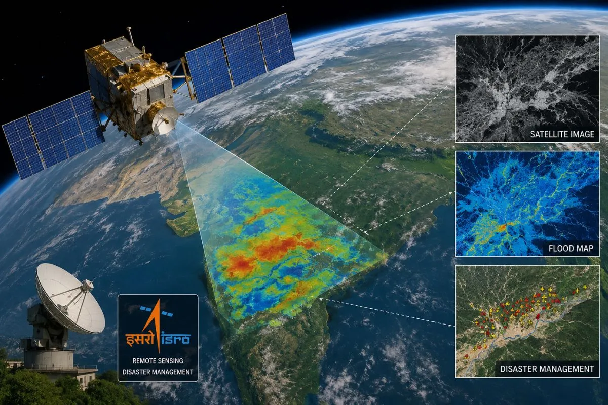
As extreme weather events become increasingly frequent across the globe, real-time satellite remote sensing has emerged as a cornerstone of modern disaster management and climate resilience. The Indian Space Research Organisation (ISRO) has long been a global pioneer in leveraging space-based observation assets to protect vulnerable populations, track environmental shifts, and coordinate rapid emergency responses.
With the deployment of advanced Earth observation platforms like the EOS-05 (GISAT-1A), space technology is moving beyond static periodic mapping to deliver near-instantaneous monitoring during high-stakes environmental crises.
To read more click here: ISRO Set to Launch EOS-05 Satellite on GSLV-F17, Marking Seven-Month Mission Comeback
The Evolution from Static Imaging to Real-Time Surveillance
Historically, Earth observation satellites operated primarily in Low Earth Orbit (LEO). While LEO platforms yield exceptional high-resolution spatial data, their orbital paths limit them to capturing specific regions only once every few days.
- Geosynchronous Real-Time Imaging:Satellites deployed in geosynchronous transfer orbits maintain a continuous view over targeted geographic areas. This allows sensors to capture frequent multi-spectral images over the Indian subcontinent throughout the day.
- Tracking Rapid Phenomena:Real-time imaging enables meteorological agencies to track the precise landfall trajectory of cyclones, monitor the spread of forest fires, and observe sudden glacial outburst floods as they develop.
- Enhanced Spectral Ranges:Modern observation platforms carry optical, thermal, and infrared instruments capable of penetrating cloud cover, mapping temperature variances, and identifying soil saturation levels.
Transforming Ground Response and Early Warning Protocols
Satellite telemetry provides disaster management agencies with actionable intelligence long before ground teams can access affected zones.
During major flood events or landslides, remote sensing data maps inundated land areas, identifies surviving transport corridors, and highlights isolated settlements requiring emergency airlifts. By integrating satellite streams with localized Geographic Information System (GIS) mapping, emergency operations centers can issue targeted evacuation warnings hours ahead of time.
Beyond sudden natural disasters, these satellites provide critical baseline data for long-term climate adaptation. They monitor coastal erosion, track agricultural drought conditions, and evaluate forest canopy loss across delicate ecosystems.
Building Global Climate Resilience
ISRO’s open-data initiatives and international disaster charters ensure that Earth observation assets support humanitarian efforts globally. As satellite technology advances, combining space-based sensors with predictive AI models will further transform emergency response from reactive relief to proactive mitigation.
ISRO’s Roadmap for Deep-Space Exploration and Human Spaceflight
Following historic milestones—including Chandrayaan-3’s lunar south pole landing and the solar observations of Aditya-L1—the Indian Space Research Organisation (ISRO) is embarking on its most ambitious chapter of space exploration yet.Moving beyond commercial satellite deployments, India’s space roadmap balances human spaceflight capability with complex planetary exploration missions.
At the center of this strategy is a dual objective: establishing independent access to low-Earth orbit for human crews while executing high-yield scientific missions across the solar system.
Gaganyaan: Laying the Groundwork for Human Spaceflight
The flagship Gaganyaan program represents India’s inaugural effort to send human astronauts into orbit.Designed to carry a three-member crew to an altitude of 400 kilometers, the program relies on rigorous qualification flight tests prior to the crewed launch.
- Uncrewed Demonstration Flights:ISRO is conducting a series of uncrewed test flights (Gaganyaan-1, 2, and 3) to validate the human-rated LVM3 launch vehicle, crew escape systems, and orbital module environmental controls.
- Life Support and Re-entry:The test series evaluates life-support systems, thermal shielding during atmospheric re-entry, and precision ocean recovery operations.
- Inaugural Crewed Mission:Successful completion of all uncrewed test flights paves the way for India’s first crewed orbital flight, establishing the nation as the fourth country to achieve independent crewed spaceflight capabilities.
Deep-Space Horizons: Chandrayaan-4 and Planetary Probes
Alongside human spaceflight developments, ISRO is expanding its robotic presence across the solar system.
- Chandrayaan-4 Lunar Sample Return:Building on Chandrayaan-3, the upcoming Chandrayaan-4 mission aims to perform a complex multi-module landing, collect surface and subsurface lunar regolith, and return the samples to Earth.
- Venus Orbiter Mission (Shukrayaan):Targeted for deep-space deployment, this orbiter will study Venus’s dense atmosphere, surface geology, and volcanic activity, employing advanced ground-penetrating radar.
- Joint Exploration:Collaborative endeavors like the Lunar Polar Exploration (LUPEX/Chandrayaan-5) mission with JAXA aim to explore water ice reserves in permanently shadowed lunar polar craters.
Elevating Global Space Leadership
These technological leaps signal India’s evolution into a major spacefaring power. By pairing cost-effective engineering with sophisticated scientific objectives, ISRO’s upcoming endeavors will drive domestic technological innovation while expanding humanity’s collective understanding of the cosmos.